It had now been 4 months since my knee replacement in May so I thought I might test it out by doing a solo trip to, maybe the Northern Territory, via western Queensland.
My main gaol was to reach Mount Isa, then stretch it on to Camooweal and then maybe a quick dash into the Territory, just to pick up a couple of birds for my Northern Territory bird list.
I was also hoping to meet up with friends, Irwyn and Rosemary, who were also birdwatching in the north-west of Queensland at the same time. Other than a phone call, while I was in Mt Isa, this wasn't to happen.
My sleeping accommodation for the trip would be the back of the Forester, which I tried out on a recent trip to northern Victoria, with Irwyn and Rosemary.
Click on photos to enlarge.
VIDEOS
Stock Sirens replace cattle grids - Willy Willy (small tornado) - Crossing the Cooper Creek Flood Plain in Channel Country (near Windorah)
Cow chewing on bone - Oh lonesome me, parts of the road from Camp 4 to Bedouri.
A dry walk to find food after drinking - JC Hotel mess - Scenery around Mt Henderson.
Having a feed - Whistling Kite, Brolga and Wedge-tailed Eagle.
The trip home - Arriving in Boulia - Rule number 3 - Willy Willy crosses road in front of me.
 |
| My cruise ship, with sleeping quarters, for the next 12 or so days. |
 |
| Day 1. Home to Warren, 505 km (314 miles). |
 |
| Cotton Gin at Trangie. |
 |
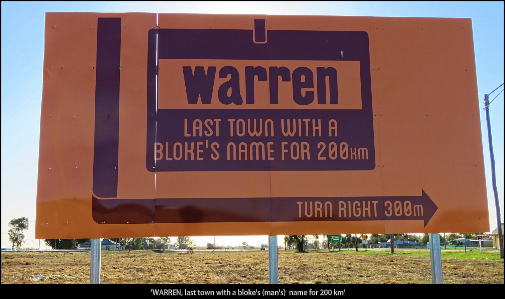
| 'WARREN, last town with a bloke's (man's) name for 200 km' |
 |
| Kangaroo at Warren |
 |
| Day 2. Warren to Qld border (Barringun), 430 km (267 miles). |
 |
| Tiger Bay Wetlands, Warren. |
 |
Sheep and Emus share a meal.
The drought has a large effect on all in the bush. |
 |
| Jaywalker on back road to Nyngan. |
 |
| The old railway station at Byrock. |
 |
| See the bird on the roof to the right? |
 |
| Brown Goshawk |
 |
| 'Coolabah Hotel Motel' |
 |
| Coolabah |
 |
| Had lunch at the Mulga Creek Pub, Byrock. |
 |
| More jaywalkers. |
 |
My camp for the night was in Barringun at the former Tattersalls Hotel,
which was destroyed by fire Christmas 2017. There were conditions with
the 'free' camping, you had to purchase a drink from temporary 'container' hotel first. I also had a $2 shower in the 'motel' room. |
 |
| As normal I stayed away from the crowds, that's my car on the far right. |
Day 3. Barringun to Quilpie 524 km (325 miles)
 |
| This kangaroo didn't quite make it. |
 |
| So many choices. |
 |
'The CUNNAMULLA CAMEL BURGER IS HERE!!
at the Cunnamulla Coffee Shop'. Sorry but I'm in a hurry. |
 |
| It was dry at my lunch spot at the Eulo 6 Mile Bore, now called Paddabilla Bore. |
 |
| Saw a White-browed Treecreeper here, a new bird for me. |
 |
| No more lunches for these dingoes. |
 |
| This Emu was having a bad feather day. |
 |
| Tonight's camp at 'The Lake', a property just out of Quilpie. |
 |
| Good view for $10. |
 |
| Shearing shed at The Lake. |
 |
| The manager told me, because of the drought, all he was growing were rocks |
 |
| The lakeside camp at The Lake. |
 |
| Day 4. Quilpie to my campsite, 495 km (308 miles). |
 |
| Quilpie sculptures. |
 |
| I stopped but he said he was OK, just hanging about. |
 |
| Usually there's only old cars deserted by the road. |
 |
| Lunch spot at Cooper's Creek Bridge, near Windorah. |
 |
| Basking in the sun by the Cooper. |
 |
| Windorah. |
 |
| Solar station at Windorah. |
 |
Meet my travelling companion,
Toad (The One Armed Dinosaur, his left arm is missing) |
 |
| They had just been for a drink ........... |
 |
| .................... now to find something to eat (good luck with that). |
 |
JC Hotel Ruins. This was an option for tonight's camp but as it
was still only 3:15 PM I had a look around and then drove on further. |
 |
JC Hotel Ruins.
This is all that remains of the old township of Canterbury that was established in 1880. |
 |
| There was also an old cemetery there. |
 |
| Not far up the road was a Native Well. |
 |
| 'The Pointer will direct you to view the hole through the hill - Mount Henderson' |
 |
| The hole through Mount Henderson. |
 |
| Surrounding scenery. |
 |
| It's 4:30 PM and this spot behind a hill of road base looks as good as anywhere to spend the night. |
 |
| Long shadow relaxation. |
 |
| Day 5. Campsite to King's Crossing, 365 km (227 miles) |
 |
| The next morning at my camp spot, the main road is somewhere to the left. |
 |
As conditions out here were pretty dry, any water drew
my attention where there might be birds. |
 |
Luckily it was only flat on the bottom.
This happened in the same area, and the same wheel,
in 1992 when I was driving my Datsun 180B. |
 |
I tried to get them to help but they just watched.
Female Red Kangaroo (left) and a young male. |
 |
| You will see why number 3 and 4 are important later on. |
 |
| Now for the start of 'nothing', and it's fantastic |
 |
| There are so many photo opportunities in remote Australia. |
 |
| Out here there's always someone to talk to. |
 |
| Going forward just looks ................... |
 |
| ................... like where I've been. |
 |
| Workers camp near turn off to Birdsville. |
 |
| Lunchtime for a pair of Wedge-tailed Eagles. |
 |
| A bit of a detour (92kms) to Cuttaburra Crossing on the Eyre Developmental Rd to Birdsville. |
 |
That night's camp at King Creek Crossing, I shared a shelter shed
with some Zebra Finches that were roosting in disused Fairy Martin nests. |
 |
| The view from my 'bedroom'. All my essentials are handy. |
 |
| The nights and mornings were still a bit chilly but I was snug-as-a-bug. |
 |
| King Creek Crossing camp. |
 |
Day 6. King's Crossing to
Police Barracks Waterhole, 258 km (160 miles) |
 |
| A magnificent bird is the Wedge-tailed Eagle. |
 |
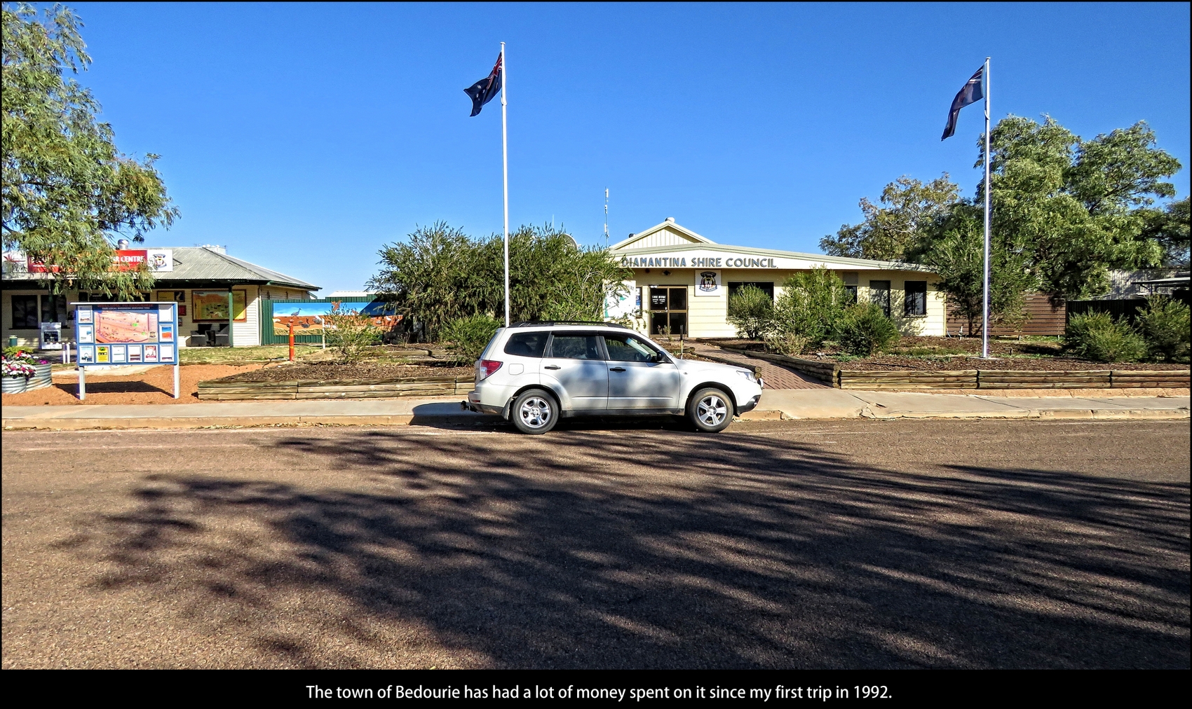
| The town of Bedourie has had a lot of money spent on it since my first trip in 1992. |
 |
| And, at $I.98 litre, I spent a lot of money on fuel. |
 |
| Parrot Pea (Crotalaria cunninghamii) |
 |
| Would be hard walking out here with no shoes. |
 |
| It's the nothingness that make it interesting. |
 |
| Vaughan Johnson Lookout. |
 |
| Time for a new flag. |
 |
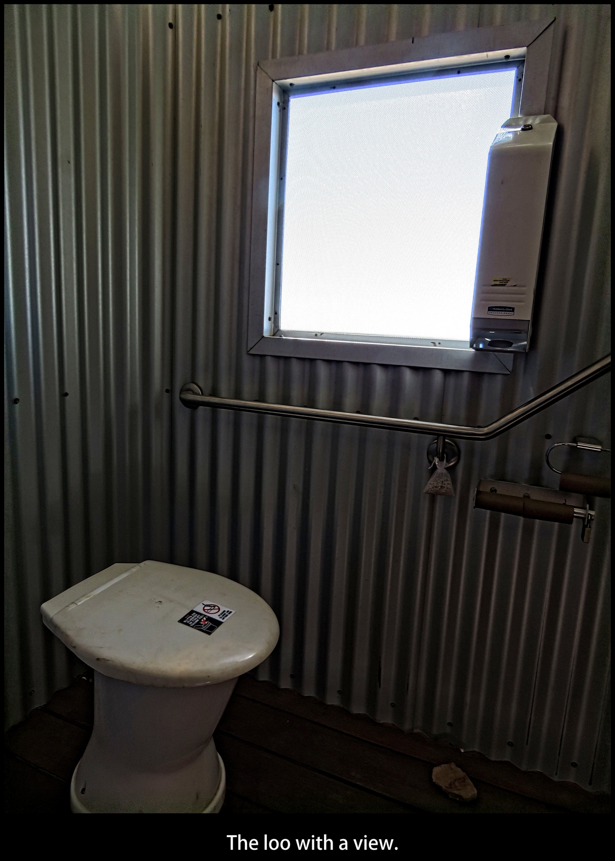
| The loo with a view. |
 |
The view overlooks the Georgina River floodplains.
After a good wet season this can becomes a lake. |
 |
Someone doesn't like councillor Robbie Dare.
Probably because he gave himself, and the other
councillors, a payrise of between 26 and 107%. |
 |
The rare Waddi Tree (Acacia Puece), also known as Birdsville Wattle,
grows in only 3 locations in inland Australia.
They take 100 years to reach 9 metres and were around in the days of the dinosaurs. |
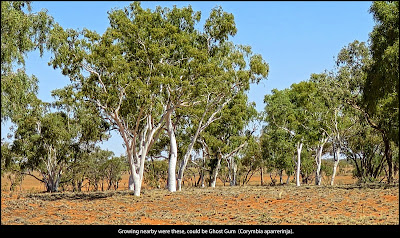 |
| Growing nearby were these, could be Ghost Gum (Corymbia aparrerinja). |
 |
| Burke River at Boulia. |
 |
| Two Brolgas in the dry bed of the Burke River at Boulia. |
 |
| Boulia. |
 |
| Boulia. |
 |
| Red-backed Kingfisher on 'Grid' sign on way to Policeman's Waterhole. |
 |
| I've arrived at Policeman's Waterhole, 25km's from Boulia, now to find where to camp. |
 |
| All that remains of the original Police Barracks at Policeman's Waterhole. |
 |
| Fish at Policeman's Waterhole. |
 |
First time to really relax.
Set my chair above the water for 2 hours and enjoyed all the birds coming in to drink. |
 |
| Campsite at sunset. |
 |
Day 7. Police Barracks Waterhole
to Corella Dam 412 km (256 miles). |
 |
| Can't resist. |
 |
| I was hoping to see a camel, but one a bit healthier than this one. |
 |
| Spinifex country. |
 |
| Spinifex as far as you can see. |
 |
Could be a relative.
Cattle will chew on bones and decaying carcasses when deficient in protein and phosphorus. |
 |
| This old causeway has seen better days. |
 |
| I thought someone had been trying their hand at 'art' under the new bridge ........... |
 |
| .............. until a closer look I saw that it was to do with measuring cracks in the concrete. |
 |
| You Go That Way. |
 |
| Believe it or not, Dajarra was once the largest cattle trucking depot in the world. |
 |
| From when the railway was here, steam train water-tower and sleeper spike. |
 |
| Adding interest and colour to the rest area. |
 |
| Dajarra contemporary art. |
 |
| Dajarra contemporary art. |
 |
| Dajarra Hotel. |
 |
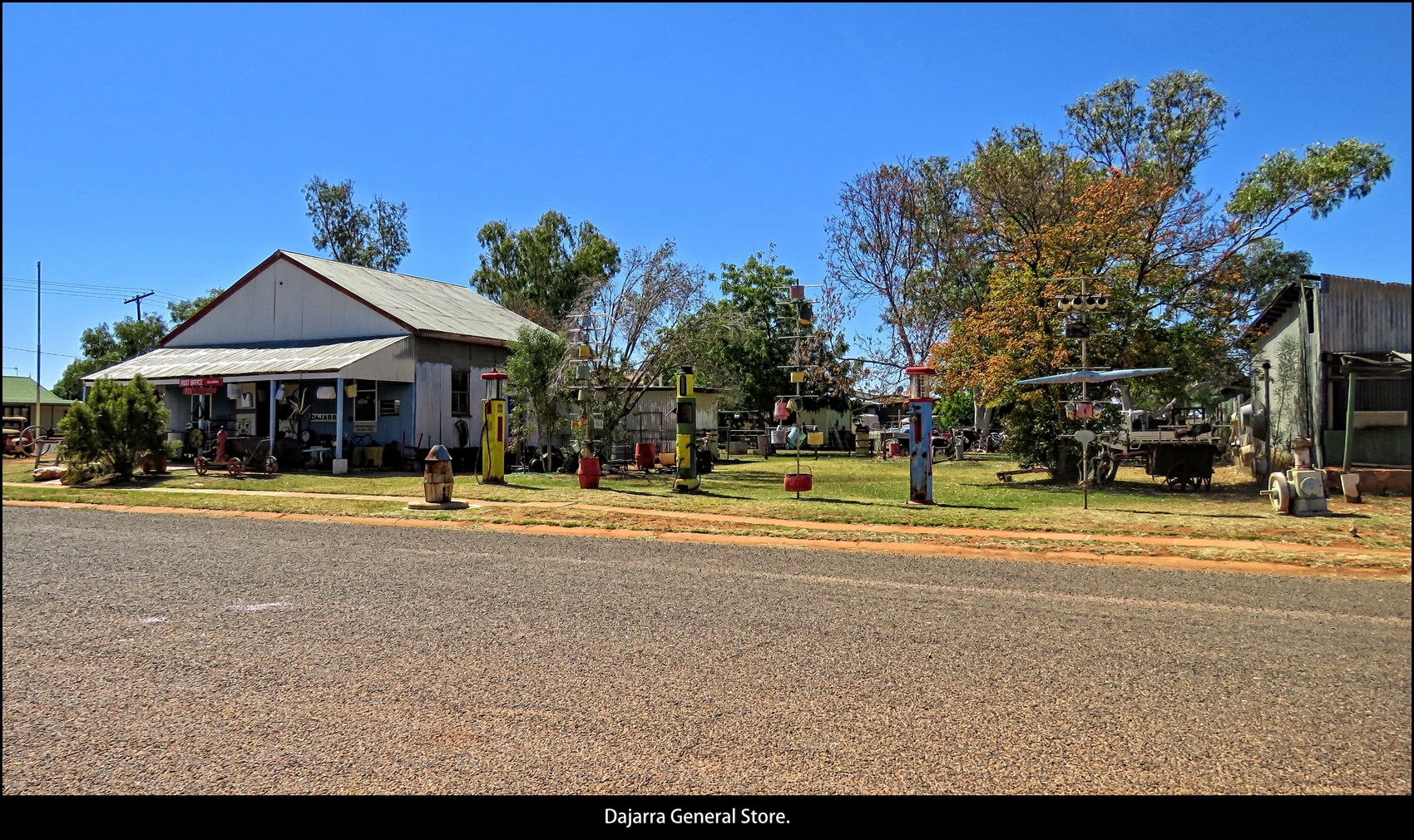
| Dajarra General Store. |
 |
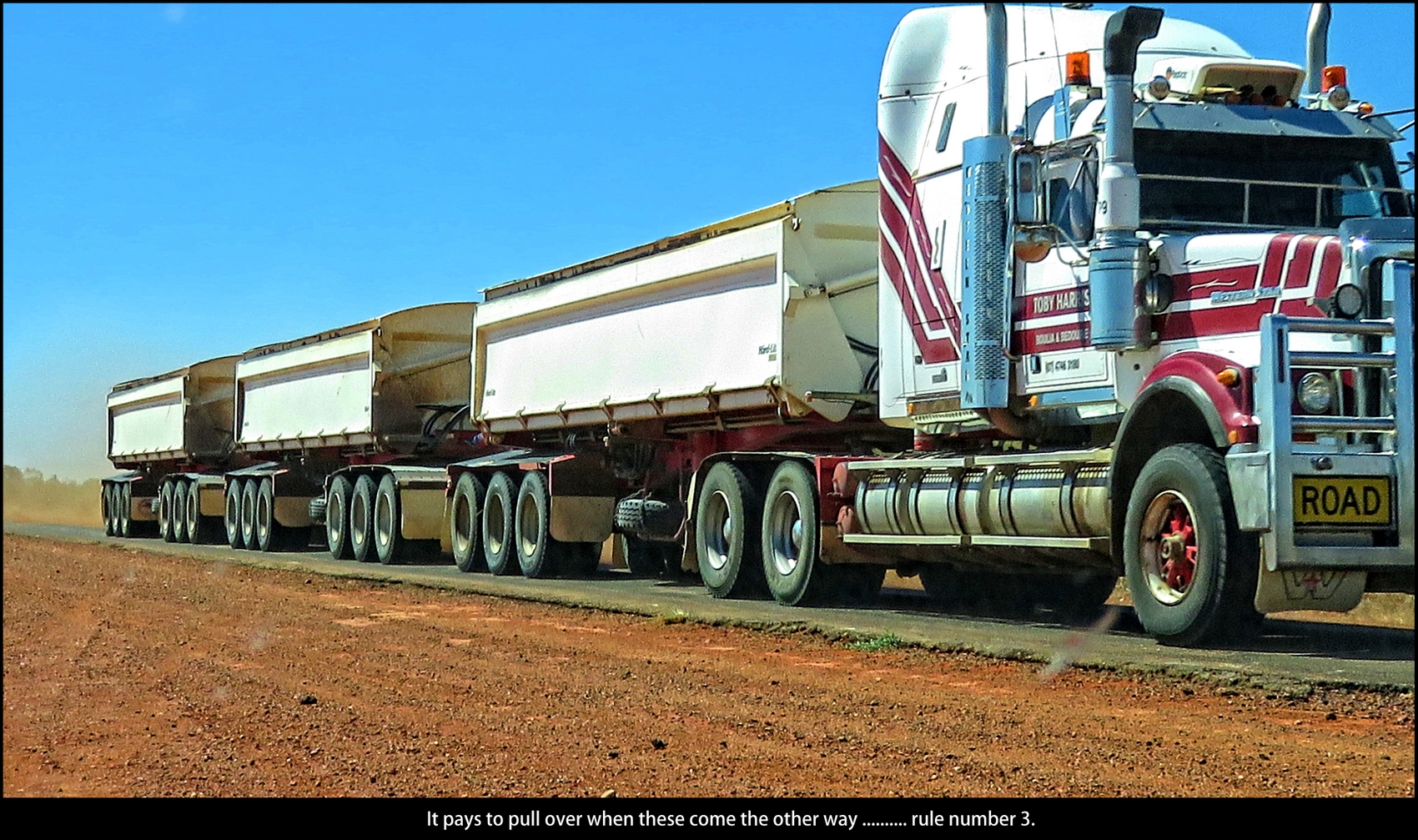
| It pays to pull over when these come the other way .......... rule number 3. |
 |
| Now you know where bikes grow. |
 |
| The city of Mount Isa. Mount Isa Mines is one of the most productive single mines in world history, based on combined production of lead, silver, copper and zinc. I just have time to get the tyre puncture fixed, will have a better look on the way back. |
 |
| Tonight's stopover is at Corella Dam. |
 |
| Whistling Kite enjoys a feed of fish. |
 |
| I find a quite spot behind the hedge at the top camp area. |
 |
| Top accommodation,, combined bedroom and kitchen. milk container is only for that days water. |
 |
| Day 8. Corella Dam to Camooweal 327 km (203 miles). |
 |
| It's a lot greener here, not like further south where I have come from. |
 |
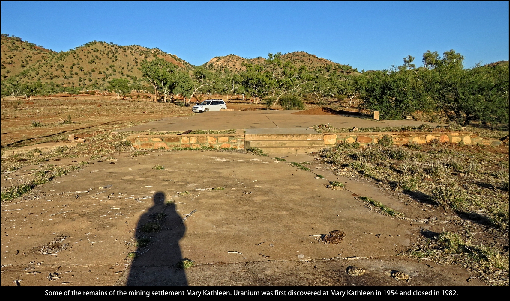
Some of the remains of the mining settlement Mary Kathleen.
Uranium was first discovered at Mary Kathleen in 1954 and closed in 1982, |
 |
This was the only road-train I overtook on a two lane stretch of road,
it seemed to take forever, they don't go slow on the flat. |
 |
| On McNamara Rd to Gunpowder, to look for the Carpentarian Grasswren. |
 |
| The cairn to look for which marks where the grasswren can be found. |
 |
Inside the cairn is a book and pen to record the birds seen at site.
Unfortunately I missed out on the grasswren, will have to go back one day. |
 |
| Carpentarian Grasswren habitat. |
 |
Along the road nearing Camooweal people have dressed-up
the termite mounds (or maybe they dressed themselves). |
 |
Pretty impressive unit.
The little smart car drives up the ramps and sits sideways on the back of the truck.
Camooweal free camping area at Lake Francis, my turn-around point. |
 |
| I had the best spot next to Lake Francis, just sat in the car and looked through the scope at all the birds that congregated in front of me. That night feral pigs went through that mud eating freshwater mussels. I got out and shone my torch on them but they just kept on eating. |
 |
There was an old campfire next to where I camped
and this Brolga found something to eat in it. |
 |
| .................. must have burnt its tongue. |
 |
| Day 9. Camooweal to Corella Dam 373 km (232 miles). |
 |
| I only went 15km's into the Territory, to Happy Creek. |
 |
| Red-backed Kingfisher at Happy Creek. |
 |
| Craig and Shadow's little memento in a paddock. |
 |
| Craig and Shadow were 'Doing a Lap' at the time. |
 |
| 'ROAD TRAIN - 53.5 Metres Long'. I believe you. |
 |
| What 53.5 metres looks like, at Camooweal . |
 |
When I arrived the Camooweal Post Office Hotel was
packed with travellers, must have been 'happy hour'. |
 |
| Fuel was cheaper in Qld but you had to wear a shirt. |
 |
| Bowser Art |
 |
| This unit drew a crowd, apparently an ex-fire engine. |
 |
| Leaving Camooweal for the drive home. |
 |
| Windmill come big out here. |
 |
| Cattle and termites. |
 |
| More dressed-up termite mounds on the way back. |
 |
| I put the hat back on and fixed its arms. |
 |
| Ready for the formal. |
 |
| Twins |
 |
| Easy cruising up here. |
 |
| Lake Moondarra is formed by the Leichhardt Dam and is Mount Isa's water supply. |
 |
| Long-nosed Water Dragon at Lake Moondarra. |
 |
| Back into Mt Isa. |
 |
| Mt Isa landmarks. |
 |
Back to camp at Corella Dam but this time at the lower Clem Walton Park camping area.
Much more peaceful here. |
 |
| Day 9. Corella Dam to King's Crossing 641 km (398 miles). |
 |
My camping neighbour had an early morning visit from a council ranger
to tie up their Rottweiler which they allowed to roam freely around the area.
.......and it wasn't me that dobbed them in. |
 |
| The top camp area is where the fisherman and boaties hang out. |
 |
Under this tree was where phone signals could be picked up.
The cardboard signs say 'Telstra Tree' and '(Ch)Optus Tree'. |
 |
Burke and Wills Memorial.
They crossed this spot on 22nd January 1861 on their journey across the Australian continent. |
 |
| This took a load off my mind. |
 |
It was just around the corner I came across a truck, going
the same way, carrying a wide load and slowing down my
progress, just what I needed now.
I just managed to squeeze past when the road widened at a railway crossing. |
 |
| At first I thought, no more photos, but stopping to take the odd photo normalized my mind. |
 |
| Mulla Mulla (Ptilotus exaltatus.). |
 |
| I came across one of these on the 1992 trip as well. The Inland Taipan (Oxyuranus microlepidotus), also commonly known as the western taipan, small-scaled snake or the fierce snake. is by far the most toxic of any snake, worldwide. One bite's worth of venom is enough to kill 100 fully grown men. and kill a person within about 45 minutes. |
 |
| Inland Taipan (Oxyuranus microlepidotus), |
 |
Ammonium phosphate is mined at Phosphate Hill.
I had taken a wrong turn to get here but hey, getting lost is as good as a holiday. |
 |
| The wrong road was a bit rough but with all the dry (luckily) river beds, it made it interesting. |
 |
| More Ghost Gums. |
 |
| Someone didn't make it on this rocky section. |
 |
Back on the main road.
You need patients if you get stuck behind a slower vehicle out here. |
 |
| Enjoying a round of golf at the lush Boulia Golf Course. |
 |
| Remember Rule Number 4? 'Watch out for wandering stock'. This animal would have been on the road, unseen, just over a slight crest. |
 |
| I now slowed down going over crests. |
 |
| My spot for the night at King Creek Crossing. |
 |
| The clear waters of King Creek Crossing. |
 |
| Day 11. King's Crossing to Toompine 694 km (431 miles). |
 |
| Someone going somewhere. I had stopped to look at a Peregrine Falcon. |
 |
| It would be easy to think there was water there if you were dying of thirst. |
 |
| Mirage. |
 |
| I was glad it wasn't me. |
 |
Back at Cooper Creek for lunch.
Just the usual, a tin of sardines, a tin of baked beans, some dry crackers
and a carton of warm strawberry milk, sorry for making you feel hungry. |
 |
| Where the main highway is also a landing strip for planes. |
 |
| Some people are thoughtful ................... |
 |
| ............................ while some people are pretty low. |
 |
| The 'moonrise' at Toompine, that night's camp, reminded me of a flag. |
 |
| Toompine camp, a hot pie and a cold ginger beer from the pub for dinner. |
 |
| Lucky there's no Werewolves out here. |
 |
| Day 12. Toompine to Nyngan 694 km (431 miles). |
 |
| 'Caution, Black Cattle Next 25k'. |
 |
| And there were. Would not like to meet them on the road at night. |
 |
| There were also some brown ones. |
 |
| Diprotodons were one of mega fauna of the Eulo district. |
 |
| McPhee Rodeo Company heading for Mount Isa. |
 |
| McPhee Rodeo Company. |
 |
| I think the 'boom' has gone out of Enngonia. |
 |
| Enngonia |
 |
| Mass is only on every 4th Sunday at St Francis Xavier Church, Enngonia. |
 |
| Emus patrolling the highway. |
 |
| Not much to eat in the paddock. |
 |
| These two Major Mitchell Cockatoos were feeding on wild melons. |
 |
| The old North Bourke Bridge seems to tower over the new bridge. |
 |
| Bourke |
 |
| The Darling River from the Old Bourke Wharf. |
 |
| Red-tailed Black Cockatoo at the Old Bourke Wharf. |
 |
| Certainly brightened up this street in Bourke. |
 |
| 'Bourke, Gateway To The Real Outback' |
 |
| The ruins of Tancred's Meatworks, Bourke. Built in1940 and closed in 1997. |
 |
'Company Clothes Must Not Be Removed From Premises'.
So bring them back!!!! |
 |
| The ruins of Tancred's Meatworks, Bourke. |
 |
It may have been the recent rain but for km's along the highway, south of Bourke,
were these large cockroaches, possibly in the 1000's, crossing the road. |
 |
| Washing day. |
 |
| No more fuel at the Mulga Market, Byrock. |
 |
| Old shops, Byrock. |
 |
| Deserted house Byrock. |
 |
| Byrock Railway Station. |
 |
| Railway mementoes. |
 |
| Old, and new, railway water tank at Byrock. |
 |
| Nyngan Riverside Tourist Park, the last camp. |
 |
| Day 13. Nyngan to home 531km (330 miles). |
 |
| Sunrise on the Bogan River, Nyngan. |
 |
| Mungeribar Silo |
 |
| Coming into Mudgee, as good as home. |
 |
| Some of the Birds |
 |
| Black-tailed Native-hen - Whistling Kite - Black-fronted Dotterel |
 |
| Pink-eared Duck Red-kneed Dotterel |
 |
| Black-faced Woodswallows - White-browed Treecreeper - Crested Bellbird |
 |
| White-winged Fairy-wren Red-necked Avocet |
 |
| Black Kite Southern Whiteface |
 |
| White-necked Heron - Pallid Cuckoo - Welcome Swallow |
 |
| Australian Ringneck Apostlebird |
 |
| Comb-crested Jacana Freckled Duck Glossy Ibis |
 |
| Brown Falcon - White-faced Heron - Red-capped Robin (male) |
 |
| Mistletoebird (female) Blue-winged kookaburra . |
 |
Magpie (with broken beak) Masked Lapwing Pied Stilt
|
 |
| Grey Teal Intermediate Egret |
 |
| Australian Raven - Singing Honeyeater - Spiny-cheeked Honeyeater |
 |
| Grey-crowned Babbler Swift Parrot |
 |
| Australasian Pipit - Wedge-tailed Eagle - Red-capped Robin (female) |
 |
| Budgerigar Whiskered Tern |
 |
| Spotted Bowerbird. - Brown Falcon - White-plumed Honeyeater |
 |
| Spinifex Pigeon Diamond Dove |
 |
| Rufous Whistler Peaceful Dove Little Corella |
 |
| Cockatiel Galah |
 |
| Magpie-lark (Pee Wee) (female) Hooded Robin (male) Black-faced Cuckoo-shrike |
 |
| Rufous Whistler (male) Red-backed Kingfisher |
 |
| Brolga - Little Woodswallow - Rainbow Bee-eater |
 |
| Painted Finch Brown Honeyeater |
 |
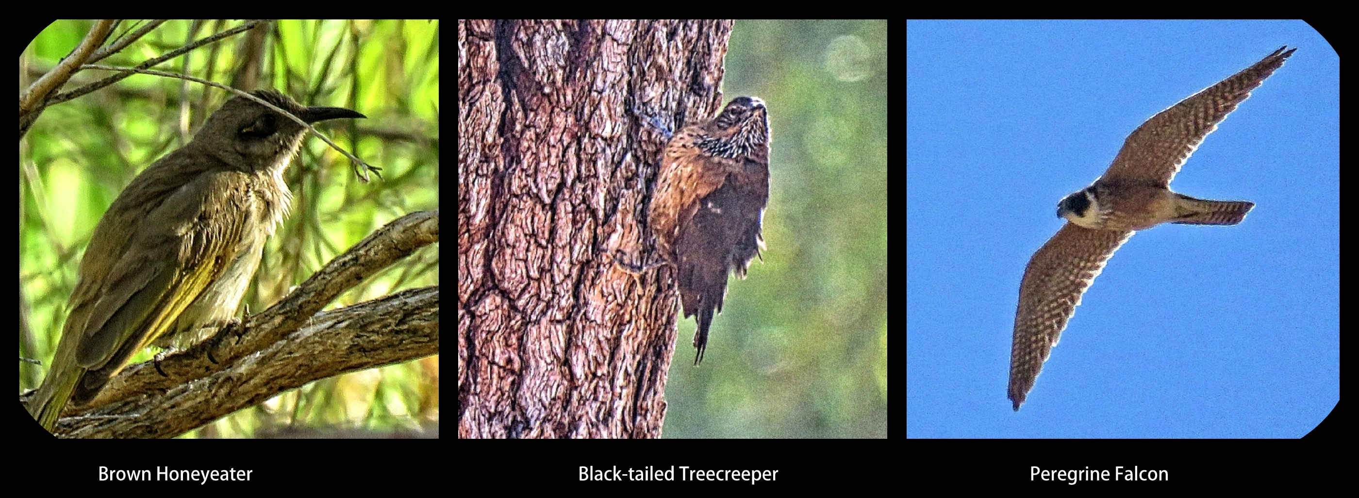
| Brown Honeyeater - Black-tailed Treecreeper - Peregrine Falcon |
 |
| White-necked Heron Rufous Songlark Paperbark Flycatcher |
Camera: Canon PowerShot SX70 HS
Photos edited in Picasa and On1